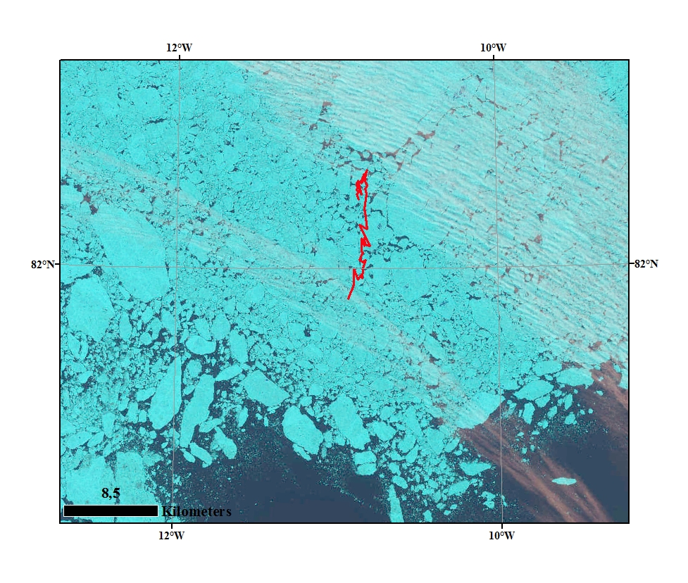
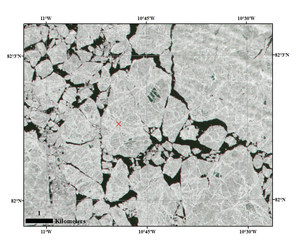
FRAM 2014-15 drift trajectory during the last three days in the Marginal Ice Zone superimposed on a Landsat image from July 14th. Close up image of the ice floe and the position of one of the Argos beacons. Courtesy: M. Babiker, NERSC.