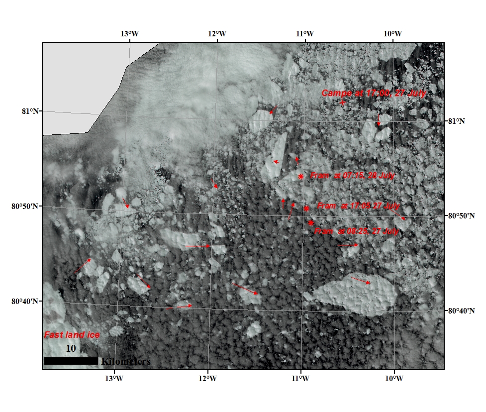
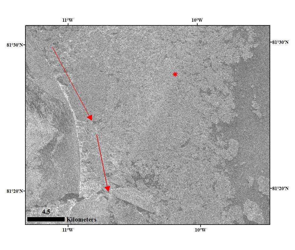
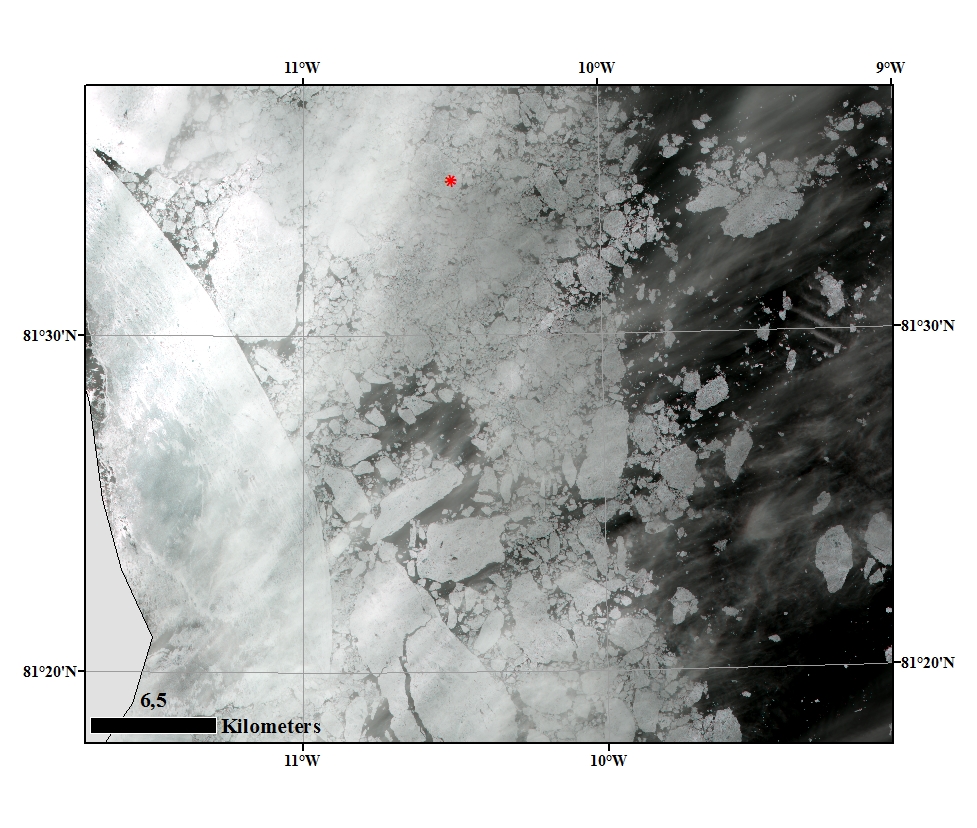
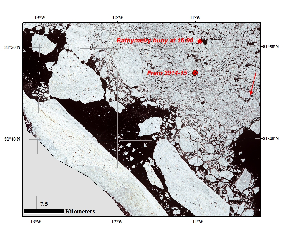
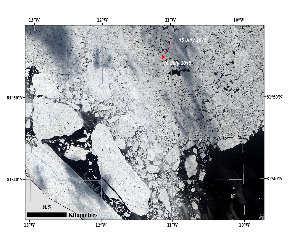
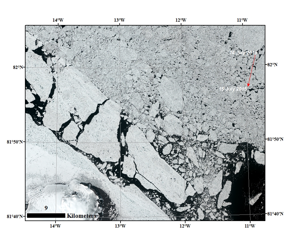
The sea ice condition around FRAM 2014-15 from Landsat image of the 27 July at 15:15. The icedrift displacement for the last 7 hours is indicated -it shows different size and directions, around Fram is North to North-west direction. Fram 2014-15 position at different time is demarcated and it is drifting North. the camp at 17:00 are demarcated.