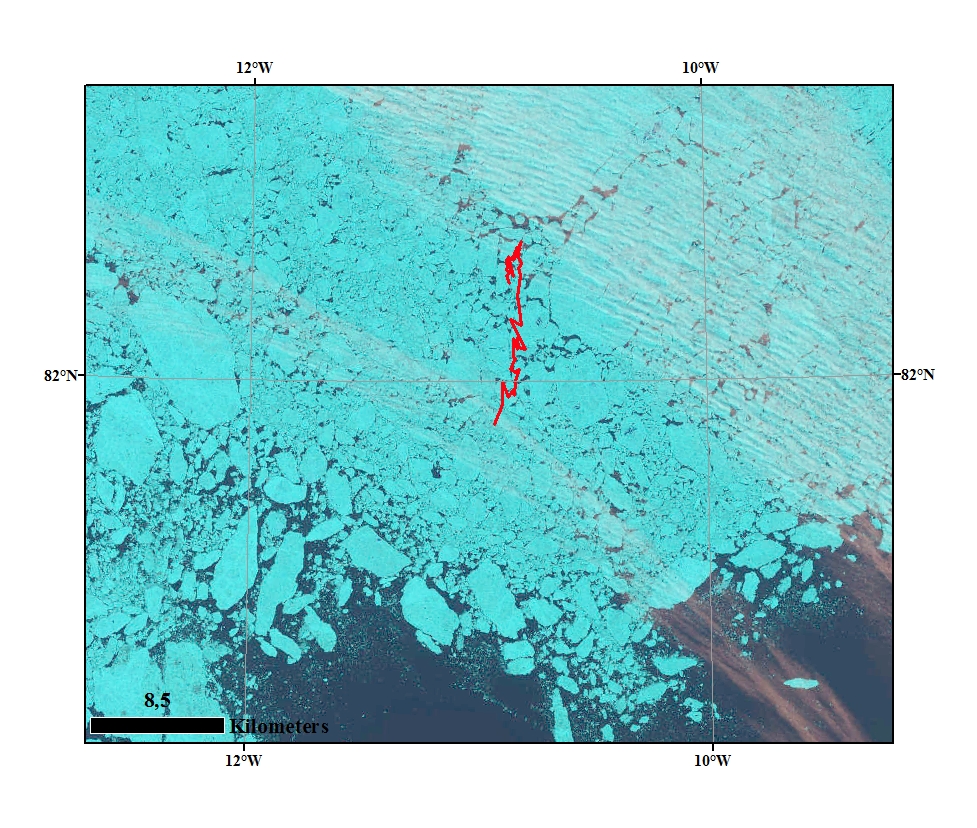
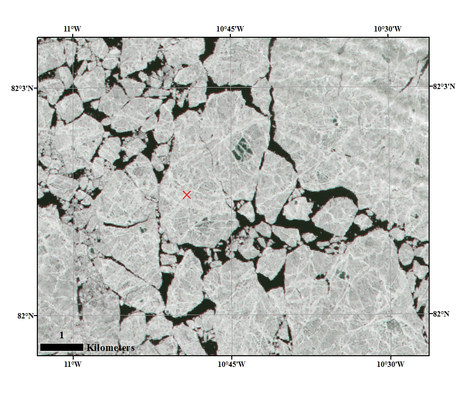
Landsat satellite image 14 July FRAM 2014-15 drift trajectory during the last three days in the Marginal Ice Zone superimposed on a Landsat image from July 14th. Close up image of the ice floe and the position of one of the Argos beacons. Courtesy: M. Babiker, NERSC.
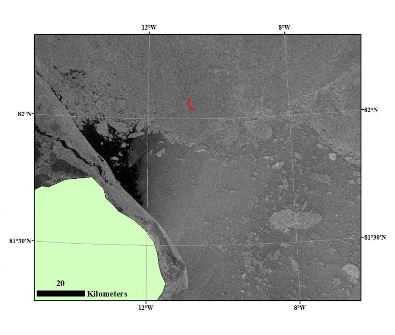
Satellite radar coverage of the FRAM 2014-15 drift station The European Sentinel-1 Earth observation satellite covered the location of the FRAM 2014-15 expedition on 13. July. The Synthetic Aperture Radar (SAR) image has a resolution of 80 meter and superimposed is the drift trajectories of Sabvabaa during the last two days.
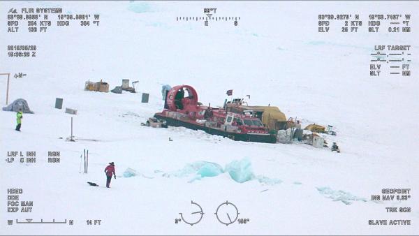
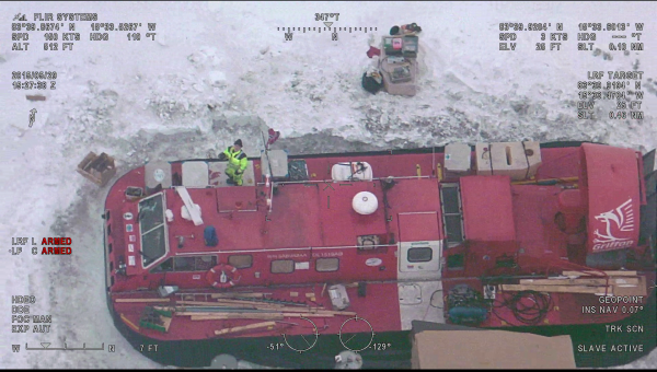
Airdrop We have been "discovered"! Here are some FLIR pictures from the Danish Air Force taken during the air drop.
Farewell to the Lomonosov Ridge - the submarine Alps on top of the Earth Brief summary of our knowledge of the origin of Lomonosov Ridge